• NYC Bike Maps

    • Brooklyn Bike Paths, Bike Lanes & Greenways

      Brooklyn’s Bike Paths, Bike Lanes & Greenways cover more than 300 miles (more than any other NYC borough) and include Ocean Parkway, America’s first bike path, which opened in 1894. Prospect Park and the still being developed Brooklyn Waterfront Greenway are among the most popular cycling destinations.

      Bike Map Legend:    Bike Path / Greenway   Bike Path with special hours    Bike Lane   Bike Route   On-Street Route     Warning    More Info  LEGEND
    • ›
      • ‹
        • New York City Bike Maps

        • NYC Bike Map
        • Manhattan
        • Brooklyn
        • Bronx
        • Queens
        • Staten Island

          More Maps
        • Manhattan Waterfront Greenway Bike Map
        • Central Park Bike Map
        • Prospect Park Bike Map
        • Google Earth NYC Bike Map

          Mountain Bike Maps
        • High Bridge Park Mountain Bike Trail Map (Manhattan)
        • Cunningham Park Mountain Bike Trail Map (Queens)
        • Wolfe's Pond Park Mountain Bike Map (Staten Island)

          Rides Outside NYC
        • North and South County Trailways Bike Map (Westchester NY)
        • Bronx River Pathway Map (Westchester NY)
        • Henry Hudson Drive aka River Road (New Jersey)

          Event Maps
        • Five Boro Bike Tour Map
    • ›
      • ‹
      • NYC Bike Maps.com is an interactive bike map for the New York City metro area and beyond.

        It uses a color-coded legend to show bike paths, greenways, bike lanes, bike routes, and other notable details to help cyclists navigate.

        It leverages data from NYC.gov, , Citibike, NJ DOT, East Coast Greenway, and more.

        NYCBikemaps.com first launched in April 2006 and was developed by Seth Holladay. NYC Bike Maps was the first interactive bike map for NYC leveraging an unofficial use of the Google Maps API and GPS files collected exploring NYC by bike.

        In 2026, the site is in the process of migrating from Google Maps to Mapbox. It leverages code from Todd Lee-Millstein and data from multiple sources.

        Free Cycling maps are available for free at bike shops throughout NYC or by visiting NYC.gov


        NYCBikeMaps.com utilizes a color-coded legend to classify routes for cyclists.

        NYCBikeMaps.com makes no guarantees that the bike routes listed will be suitable for all cyclists. Please ride safely.
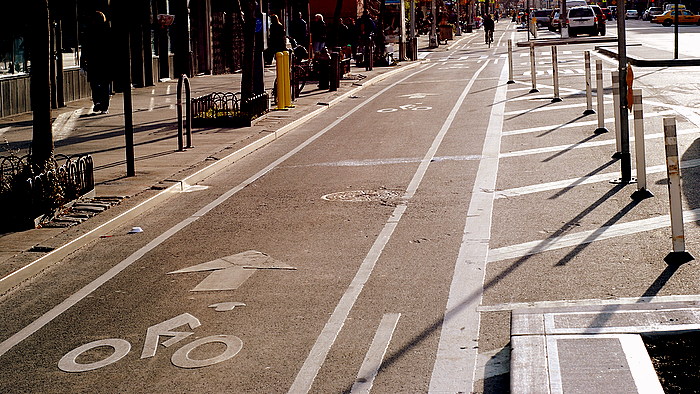
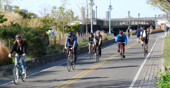
        Bike Path / Greenway / Off-Street Path off-street bike path or designated path in parks or on-street protected bike paths Manhattan Waterfront Greenway Protected Bike Path on 9th Avenue
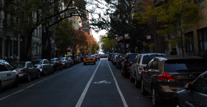
        Bike Lane on-street striped route Bike lane on 91st Street
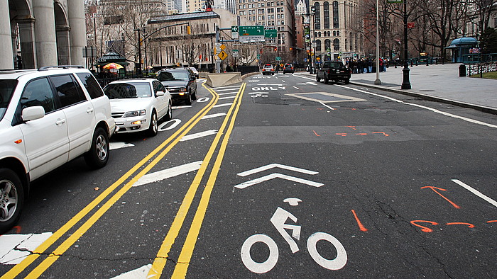
        Sharrows / Signed Route on street signed route or sharrow Sharrow near City Hall in Manhattan
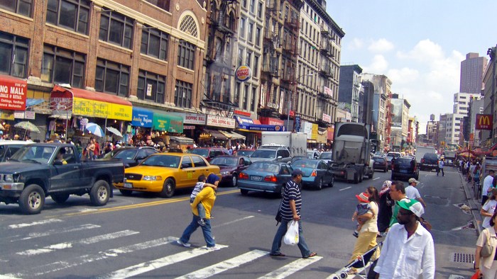
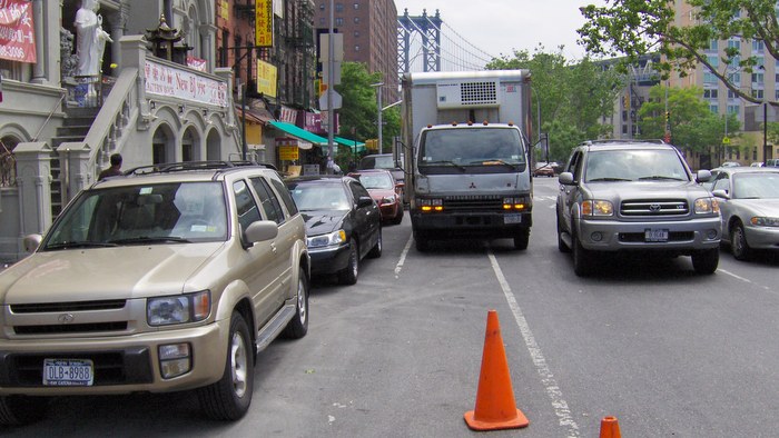
        Recommended On-Street Route on-street route with traffic. no bike signage or separation. busy street in Chinatown Manhattan
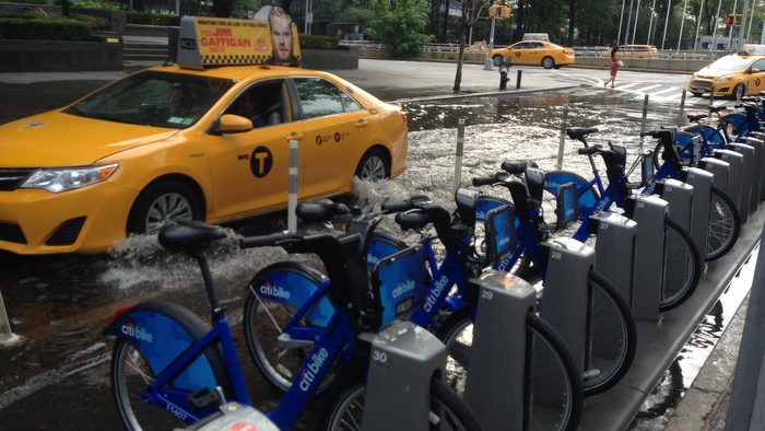
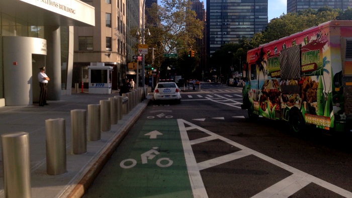
        Caution! Bike lanes & paths may be blocked by cars or pedestrians, or closed due to construction or maintenance. Please ride safely and responsibly. Flooded street Bike lane blocked by NYPD blocked bike lane